Google Earth
GeoNode’s built in map interface lets you look at your layers and maps in the Google Earth plugin directly in your browser. You can switch to this 3D viewer directly in GeoNode by clicking the google earth icon in the map panel.

GeoServer will render your layer as an image until you are zoomed in sufficiently, and then it will switch to rendering it as a vector overlay that you can click on to view the attributes for the feature you clicked on.

You can also use this option in the GeoExplorer client by clicking the same button.

Note
Some of the GeoExplorer options will not be available to you when you are in this mode, they will be grayed out an inaccessible.
If instead you want to use layers from your GeoNode in the Google Earth client itself, you have a few options available to you.
First, you can select the KML option from the Download Layer menu to download the entire layer in a single KML file. Depending on the size of the layer, your GeoNode could take several seconds or longer to generate this KML and return it to you.

When the layer is generated, it will be downloaded to your desktop machine and you can simply double click it to open it in Google Earth.
Alternatively, you can use the “View in Google Earth” option in the Layer Download menu to view the layer in Google Earth using the same methodology described above depending on the zoom level.

This will download a small KMZ to your desktop that contains a reference to the layers on the server and you can double click it to open it in Google Earth.

Note
The basic difference between these two options is that the first downloads all of the data to your desktop at once and as such, the downloaded file can be used offline while the second is simply a Network Link to the layer on the server. Choose whichever method is best for your own needs and purposes.
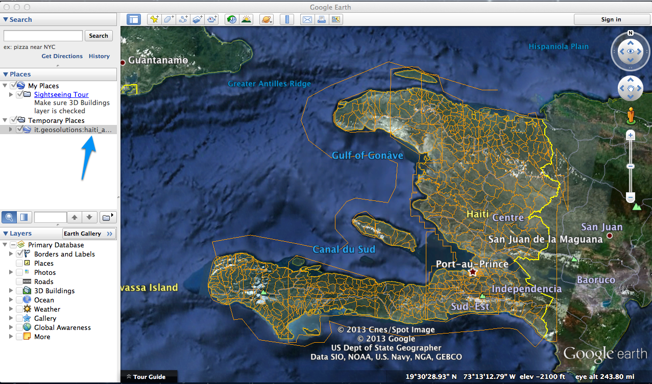
Once you have added your layers to the Places panel in Google Earth, you can move them from the Temporary Places section into My Places if you wish to use them after your current Google Earth session is complete. You can arrange them in folders and use Google Earth functionality to save your project to disk. Consult Google Earths documentation for more information about how to do this.